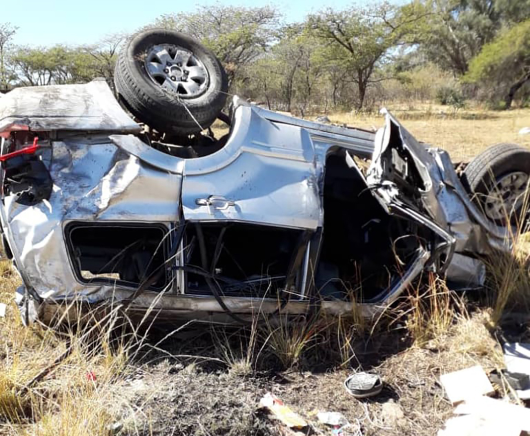
MUTARE– Pictures have emerged which appear to support claims by survivors of a deadly cyclone in eastern Zimbabwe that there was some seismic activity before heavy rains and winds swept in from Mozambique on March 16.
Weather monitoring services have reported no earthquake or tremor in the area on the day, but locals maintain that two hours before the rains arrived, a very loud noise “like an explosion” was heard in the valleys around Chimanimani district.
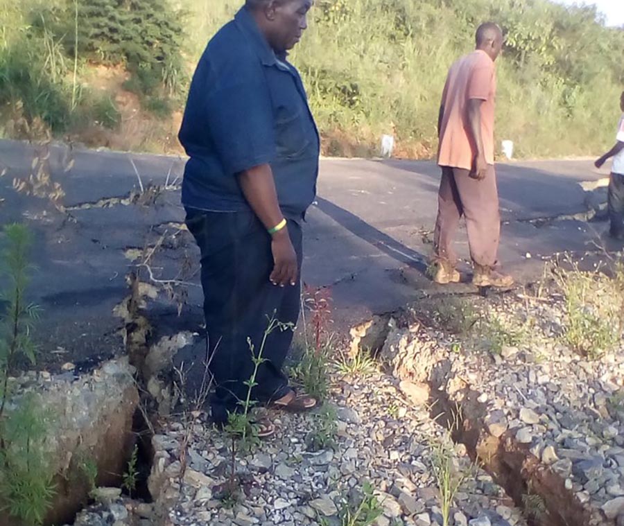
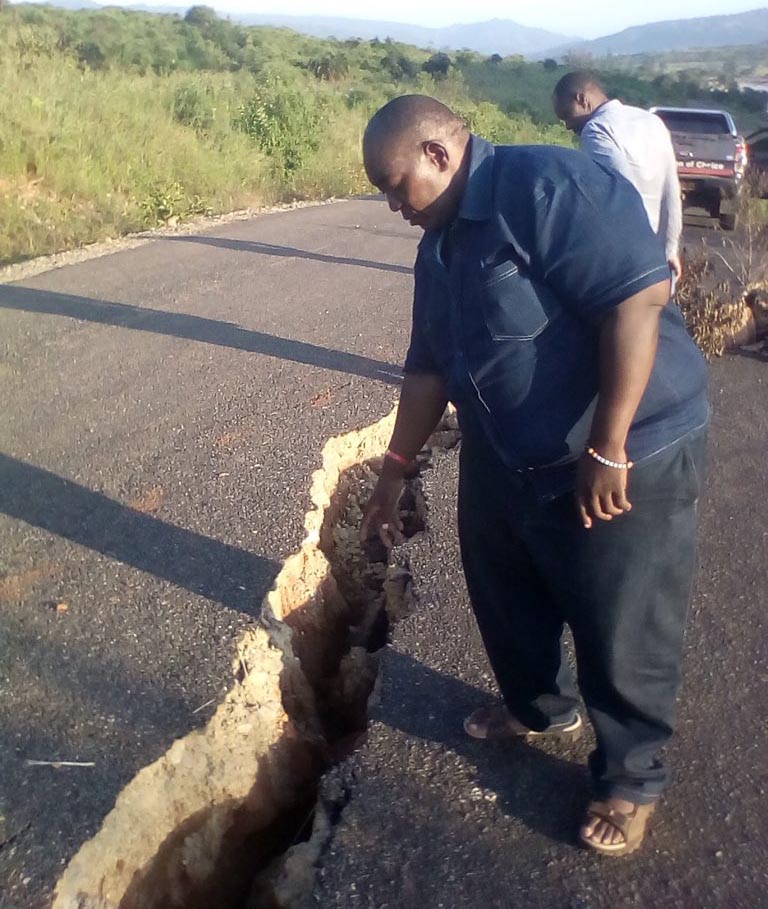
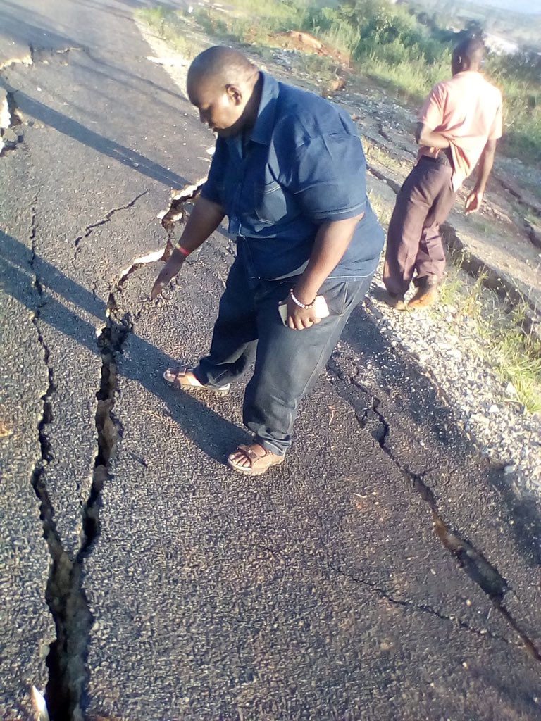
Pictures have emerged showing deep cracks in the ground on a major highway linking Chimanimani and Mutare, emphasising the need to for an urgent geological study of the Chimanimani and Chipinge landscapes after Cyclone Idai, which is feared to have killed hundreds of people.
Journalist Privilege Musvanhiri spent over a week in Chimanimani interviewing locals.
“The common thread, the consistency in their stories, is that first there were heavy winds, then something they described as the sound of some kind of huge explosion which shook everything, and then later came the rains. It certainly calls for an investigation, if we don’t have the expertise locally we must look externally,” Musvanhiri told ZimLive.
President Emmerson Mnangagwa, who toured some areas devastated by the cyclone, heard first hand the claims of a tremor-like event.
“It’s quite revealing that some areas which we visited had landslides before the rains came and the local people say there was some sound which came earlier on and a lot of rocks began falling from the mountains. Rains came two hours later. So, you can see that there is some other phenomenon which we’re not quite clear about,” Mnangagwa said.
Some believe the mudslides and rock falls that are blamed for causing most deaths were caused by the preceding incident that may have caused cracks in the ground and instability of the hills that are covered by red soils and some vegetation.
Manicaland province, which bore the brunt of Cyclone Idai, was last December shaken by an earthquake measuring 5.5 on the Richter scale.
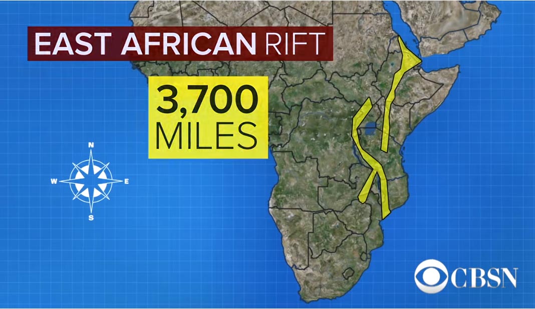
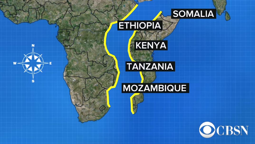
Most of the violent weather activity is coming from Mozambique which borders the province. Mozambique, according to geologists, sits in the path of the so-called East African Rift which could result in the African continent splitting into two over millions of years. The fault-line is most visible in Kenya.
Hundreds of thousands of people are in need of food, water and shelter after Cyclone Idai battered Mozambique, Zimbabwe and Malawi.
As of Friday, at least 738 people had been reported killed by the storm, the flooding it caused and heavy rains before it hit.
Following is an outline of the disaster, according to government and United Nations officials:
MOZAMBIQUE
Cyclone Idai landed on the night of March 14 near the port city of Beira, bringing heavy winds and rains. Two major rivers, the Buzi and the Pungue, burst their banks, submerging entire villages and leaving bodies floating in the water.
People killed: 493
People injured: 1,523
Houses damaged or destroyed: 99,317
Crops damaged: 669,903 hectares
People affected: 1.85 million
ZIMBABWE
On March 16, the storm hit eastern Zimbabwe, where it flattened homes and flooded communities in the Chimanimani and Chipinge districts.
People killed: 185, according to government. The U.N. migration agency puts the death toll at 259.
People injured: 200
People displaced: 16,000 households
People affected: 250,000
MALAWI
Before it arrived, the storm brought heavy rains and flooding to the lower Shire River districts of Chikwawa and Nsanje, in Malawi’s south. The rains continued after the storm hit, compounding the misery of tens of thousands of people.
People killed: 60
People injured: 672
People displaced: 19,328 households
People affected: 868,895

